SETI unit on a celestial map
Message boards :
SETI@home Science :
SETI unit on a celestial map
Message board moderation
| Author | Message |
|---|---|
 JDragonB JDragonB Send message Joined: 2 Oct 99 Posts: 14 Credit: 15,089,878 RAC: 1 
|
Hello! I would like to position the units on a celestial map as this: 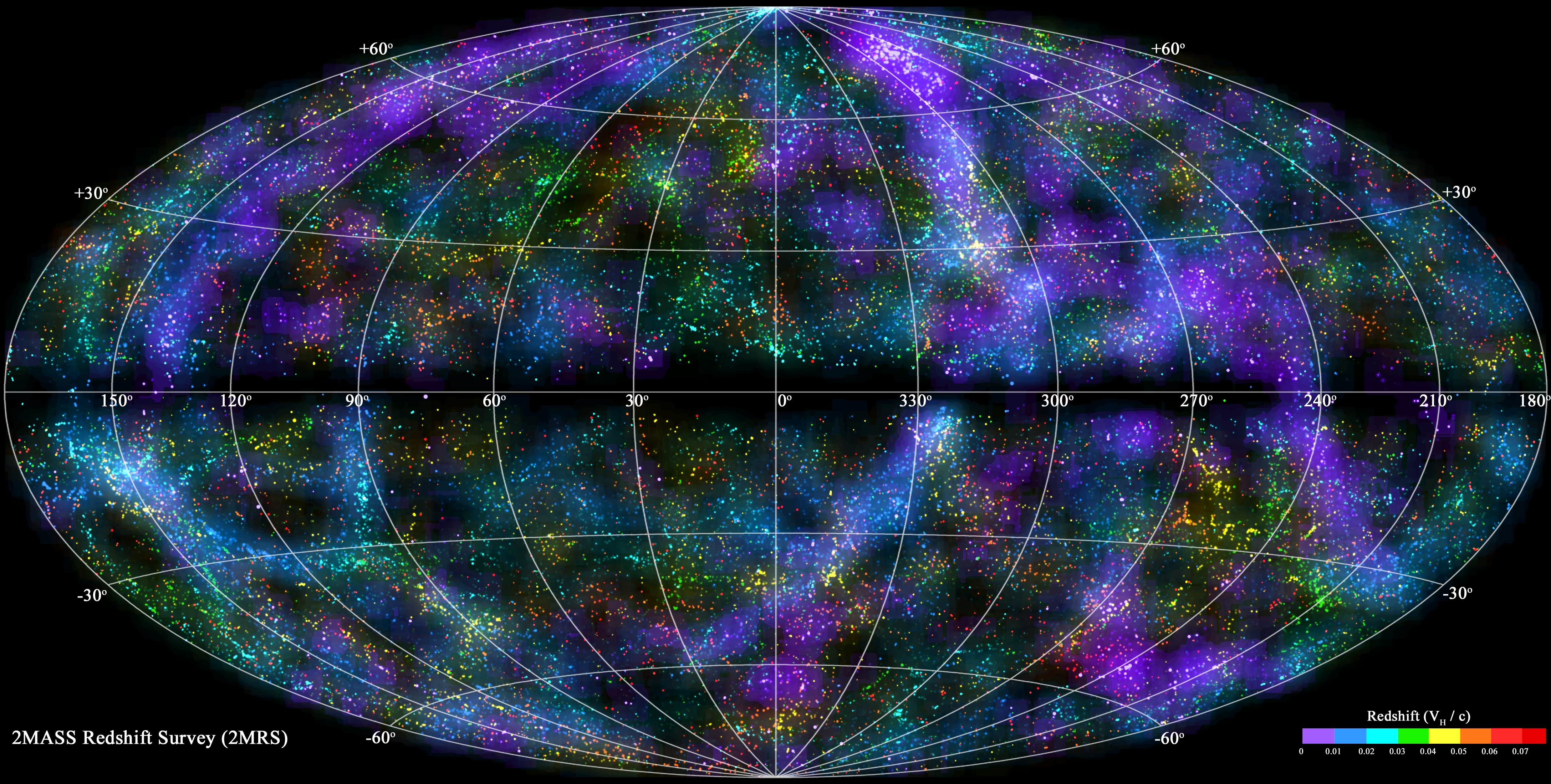 . .But how do I find the position of the unit (I have the impression that his name could only help me if I come to understand ...)? Then how to convert data coordinates as (0 ° to 360 -90 ° to 90 °), but that's for later ... Thk. 
ID: 1288105 · |
|
JDragonB Send message Joined: 2 Oct 99 Posts: 14 Credit: 15,089,878 RAC: 1
|
Someone ? a link ?
ID: 1290924 · |
|
musicplayer Send message Joined: 17 May 10 Posts: 2442 Credit: 926,046 RAC: 0 |
Ouch! Once again. Many years ago my people bought a globe of the earth which was illuminated and had a squared magnifying glass on a horizontal metal slider. The globe could be rotated both ways around and areas of land and water could be studied through this magnifying glass. Oppositely, put a map of the globe on a flat map and you end up with a surface where the northern as well as southern parts are being drawn or stretched out. This is called projection and one such type which comes to my mind is Mercator projection. This type of projection is two-dimensional. There may possibly be other ways of doing such projection as well. For the some principle to be used on the celestial sky, you will need two things, namely the celestial co-ordinates and the sky itself, either as a map, or possibly as a genuine picture. For co-ordinates to be working here, you assume the position of the core or nucleus of our galaxy (Sagittarius A) having 0,0 celestial co-ordinates. R.A. becomes 0 through 360 degrees (or most of it) when drawing a horizontal line from the left of the map, through the center and to the right end of the map which is supposed to be meeting points at each end (180 degrees R.A.). The Declination is assumed to be 0 degrees (or Equator) all the way across this line. For the poles, you get 90 degrees north and 90 degrees south, respectively. These points are the Galactic North Poles and South Poles, respectively. These points do not have any corresponding R.A. The old Norton Star Atlas included such a map. For the newer edition, which I also have, I will need to check whether it is still being included there. If you should be doing the same thing in three-dimensional space, you may be dealing with X,Y,Z co-ordinates instead. You may either have an absolute such system where the X-axis is your current point of position or place and possibly traveling point either forward or backward. The Y-axis is the sideways point relative to the X-axis and the Z-axis is the horizontal or vertical axis relative to the X-axis and the Y-axis. A relative point assumes you are not lying "flat" in space, but rather gives X,Y,Z co-ordinates from the position you are assuming. Your direction of travel could lead you anywhere. One software which is trying to use such a traveling system is Starry Night Pro. ID: 1290930 · |
|
JDragonB Send message Joined: 2 Oct 99 Posts: 14 Credit: 15,089,878 RAC: 1
|
Thanks for your reply! I need to the point zero of the sky and you gave me it... at the same time, it was logical, why I have not thought of? Still me have a question: How do I extract coordinates R.A. and declination by my own means of calculation units... After that, it's time that I would need! :p
ID: 1290966 · |
|
Bruce N. Goren Send message Joined: 1 Jul 99 Posts: 15 Credit: 11,329,118 RAC: 32 
|
I wonder if this press release means we will get your kinds of views in the client sometime? http://www.distantsuns.com/distant-suns-and-seti-institute-now-bffs/ ID: 1291048 · |
|
Bernie Vine Send message Joined: 26 May 99 Posts: 9954 Credit: 103,452,613 RAC: 328 
|
I wonder if this press release means we will get your kinds of views in the client sometime? Totally different project has no connection with SETI@Home ID: 1291109 · |
|
JDragonB Send message Joined: 2 Oct 99 Posts: 14 Credit: 15,089,878 RAC: 1
|
I'm sorry Bruce, but it's true. ;)
ID: 1291120 · |

©2024 University of California
SETI@home and Astropulse are funded by grants from the National Science Foundation, NASA, and donations from SETI@home volunteers. AstroPulse is funded in part by the NSF through grant AST-0307956.